Bristol Drones — Drone Surveying & Mapping
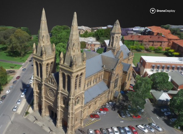
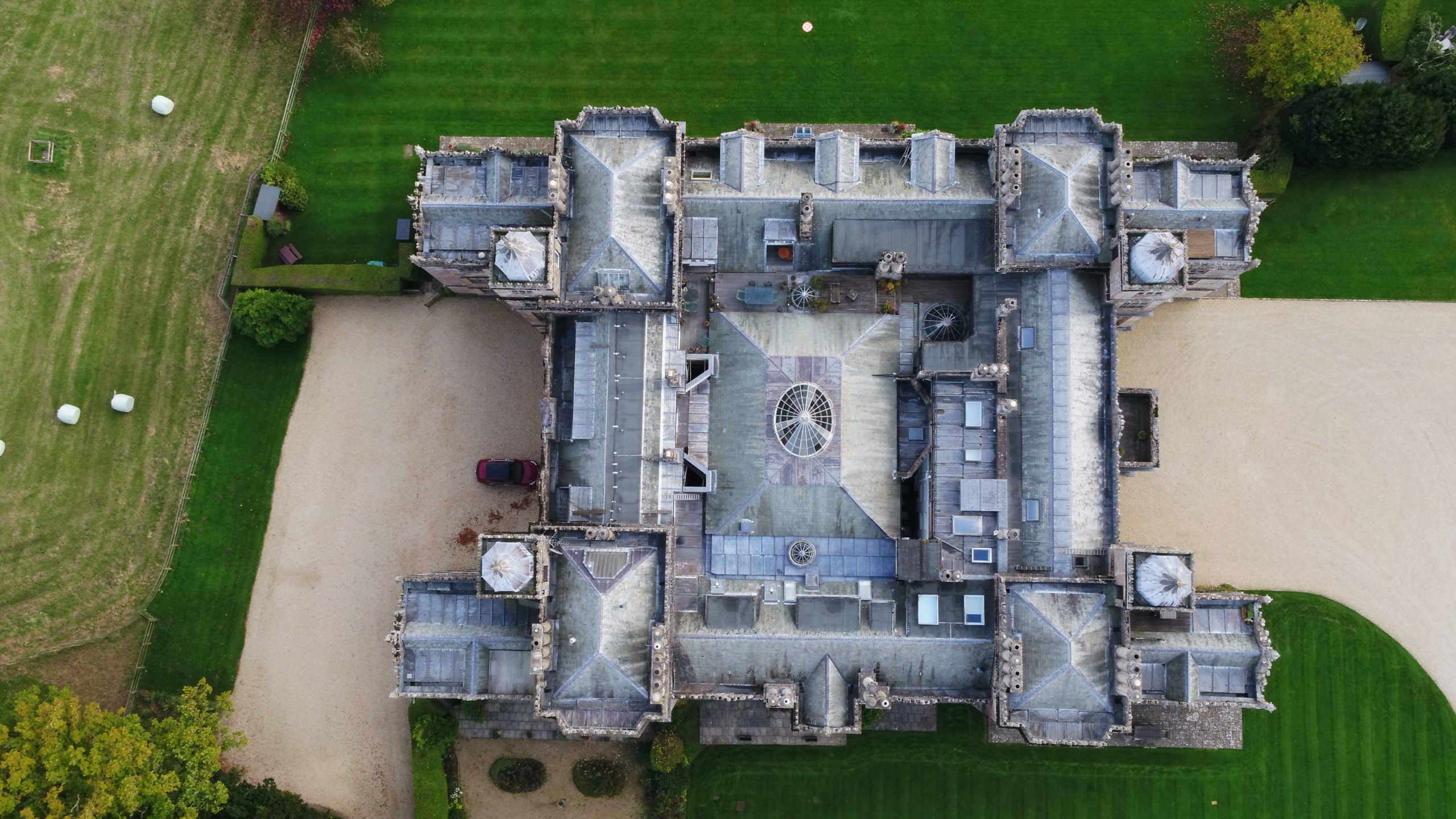
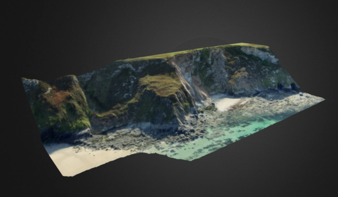
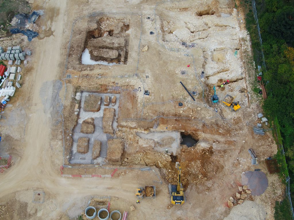
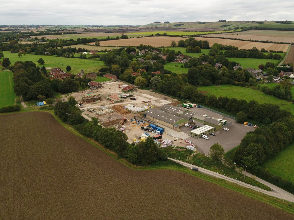
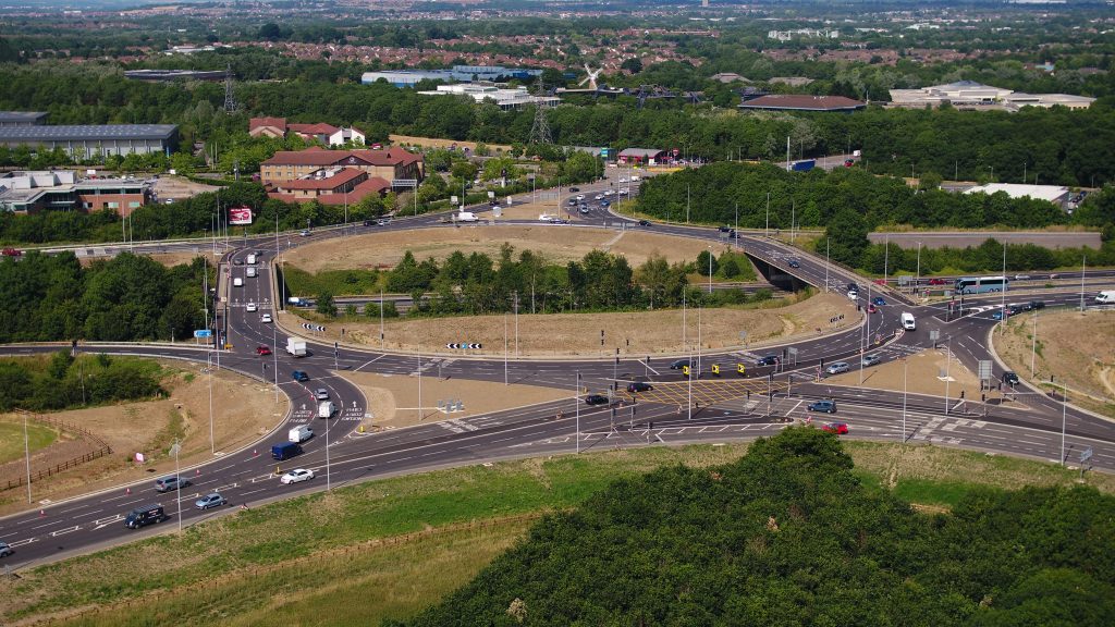
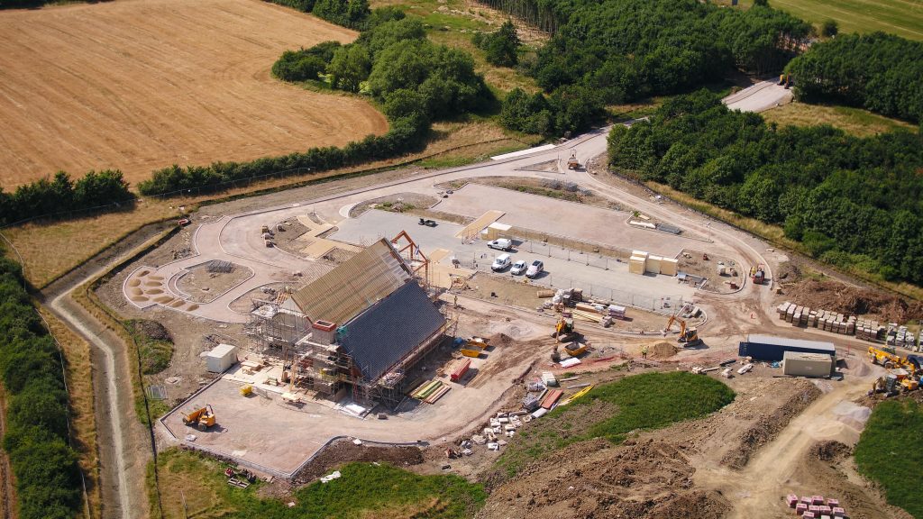
Bristol Drones provides high-quality surveying and mapping services across the South West.
We’re a certified and insured drone services provider based in Bristol using the latest and best drone technology, including the Dji Matrice 210, Inspire 2, eBee SQ, Matrice 600 and Mavic 2 Pro.
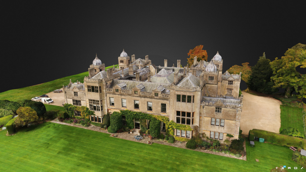
Our drone surveying and mapping services are efficient, accurate, and cost-effective — which is why we’re used by clients throughout Bristol, Bath, Swindon, and the South West.
Read on to find out more about Bristol Drones Surveying & Mapping Services.
Benefits of drone surveying & mapping
Using a drone service for surveying and mapping has many different benefits:
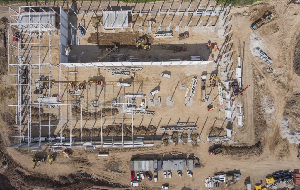
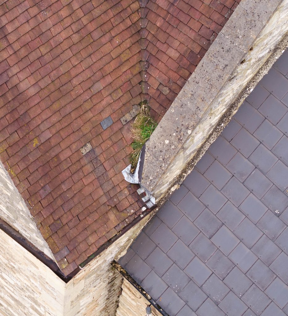
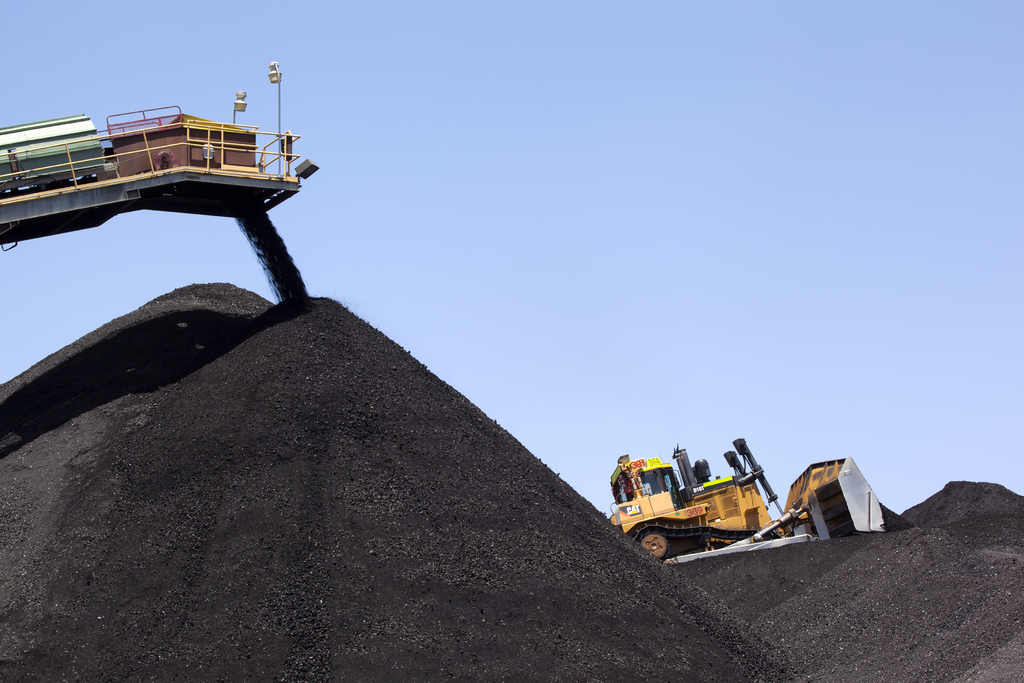
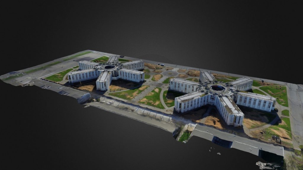
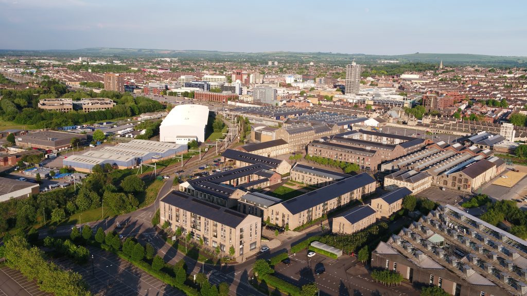
- Drone surveys are efficient and time-saving: traditional methods of obtaining data normally require high levels of surveying workforce numbers, and the acquisition of this data can often be time-consuming, difficult to manage, and difficult to keep up to date. Drones can cover large areas and map them out very quickly.
- Because drone surveying and mapping is quicker and more efficient, it is also much more cost-effective than traditional data collecting methods (especially in comparison to helicopters). Bristol Drones works hard to keep costs and time to a minimum to fit your budget; check out our prices page for more information regarding a free quotation and consultation.
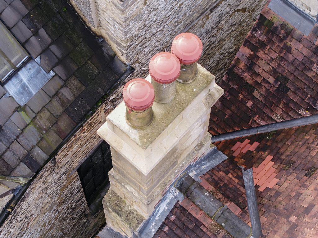
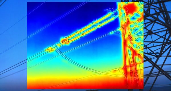
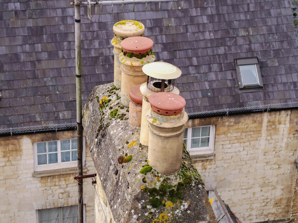
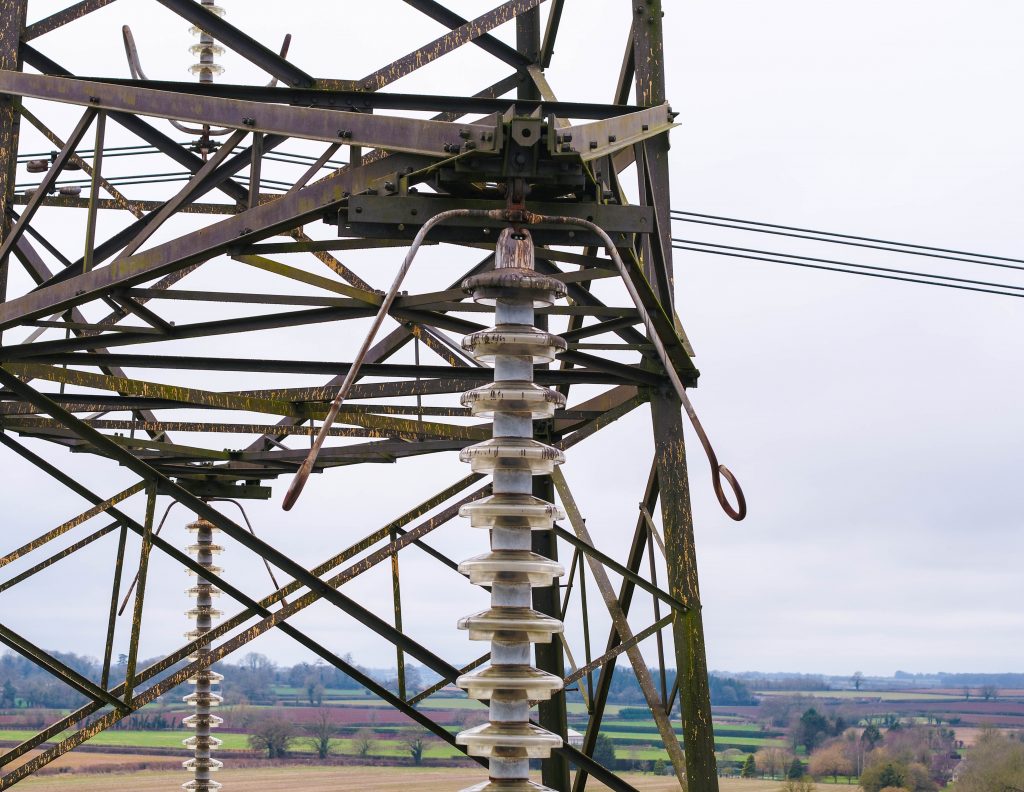
- Using drones for surveying and mapping is the safest option you can pick. When carrying out these tasks manually, there can be all sorts of health and safety risks at play — particularly if you’re trying to capture inaccessible terrain or potentially dangerous onsite images. Drone surveys rule out these risks and provide a new, safer alternative.
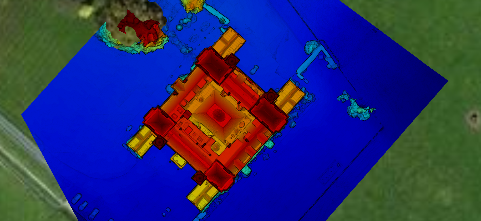
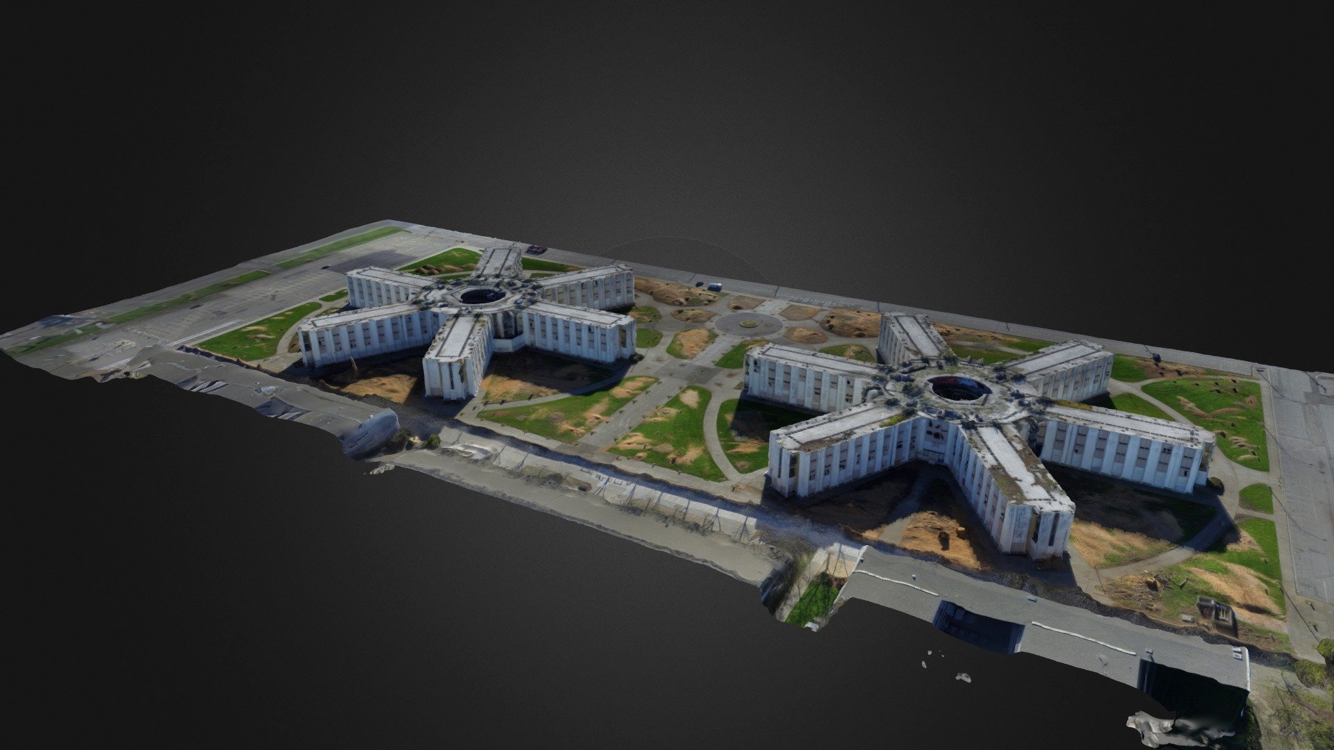
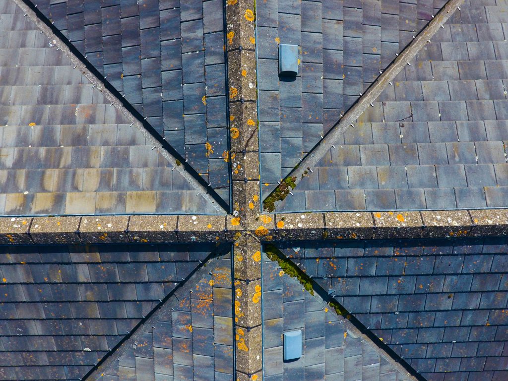
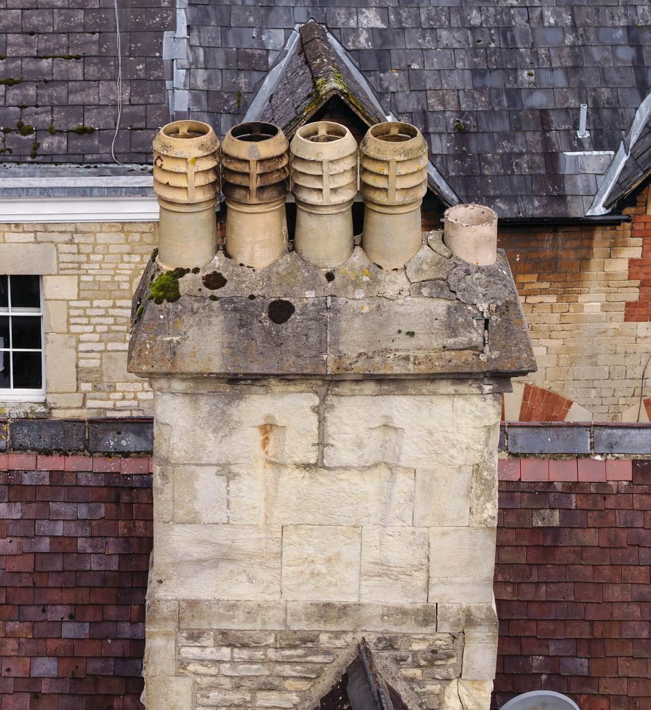
- Aerial drone surveys are extremely accurate — collecting comprehensive data and providing high-quality images. There are also no gaps in your data due to health and safety considerations in difficult areas, meaning you get the full picture of how the land lies.
